Library · The plant and the country
Where rooibos grows
Two provinces, one stretch of mountain and plateau country, and a protected name whose boundary sits in a legal annex rather than on a marketing map. The atlas below places the towns the industry names and the landscapes between them.
Published 2026-10-21
Three things that overlap but are not the same
Rooibos is produced in the Western Cape and the Northern Cape, the two provinces that make up the western side of South Africa. Within them, three different ideas of "where rooibos grows" are often run together. The natural range is where the species grows wild: government describes it as a limited area of both provinces including the Cederberg, and the Council calls the Cederberg the only place it grows naturally. The commercial area is where it is farmed: the Council names Clanwilliam, Graafwater, Citrusdal, Vanrhynsdorp, Nieuwoudtville and Wupperthal among the producing towns, and emerging farmers near Wupperthal and in the Heiveld also harvest wild plants. The protected-name area is the one defined in law: the EU regulation registering "Rooibos / Red Bush" as a protected designation of origin covers leaf cultivated or wild-harvested within an area set out in its annex. These three overlap, but none is simply the other, and this atlas draws none of them as a line.
Rooibos country, on the map
The towns the industry names, the mountains and plateaus around them, and the places a visitor can go. Drag or use the controls to move; choose a point or a name to read its story. Points are approximate and placed by the editors; the map shows no field boundaries and does not draw the legal boundary of the protected name.
Base map: Natural Earth, public domain. Place points are approximate and editorial. Provincial line and roads are generalised; the road network is drawn unlabelled.
- Town
- Region or landscape
- Reserve or garden
- Landmark
- River
Choose a point on the map or a name in the list.
Town
The town most often named with rooibos. The Council lists it among the producing towns, and the Cederberg to its east is the area it calls the plant's natural home. Processing and packing businesses are based here and in the district.
Town
A producing town in the Olifants River valley south of Clanwilliam, listed by the Council among the rooibos towns. The valley floor is citrus; rooibos sits on the sandy slopes and plateaus around it.
Town
A small town west of Clanwilliam on the Sandveld side, named by the Council among the producing towns.
Town
Where the N7 meets the road up Van Rhyn's Pass to the Bokkeveld plateau. The Council lists it among producing towns; it sits at the foot of the escarpment on the edge of the Knersvlakte.
Town
The Bokkeveld plateau town, listed by the Council among rooibos-producing towns and the home of this hub's companion destination guide. Winter rain, sandstone and dolerite soils, and a spring flower season that draws visitors.
Town
A mission village deep in the Cederberg. The Council names it among producing areas and notes that emerging farmers near Wupperthal also harvest some wild rooibos. Cooperative history here is part of the heritage story.
Region or landscape
The Suid Bokkeveld, home of the Heiveld cooperative described in SANBI and UNDP profiles for sustainable wild harvesting and smallholder organisation. Drawn as a broad area, not a boundary.
Region or landscape
The sandstone mountains the Council describes as the only place rooibos grows naturally, with mountain fynbos, rock art and a wilderness area. The wider natural range government describes includes parts of both provinces.
Region or landscape
The plateau above the escarpment around Nieuwoudtville: winter rainfall, sandstone and dolerite, and the northern reach of commercial rooibos. Drawn as an area, not a boundary.
Region or landscape
The sandy coastal plain west of the mountains. Deep sands and winter rain suit the crop; the Council's list of producing towns includes places on its inland edge.
Region or landscape
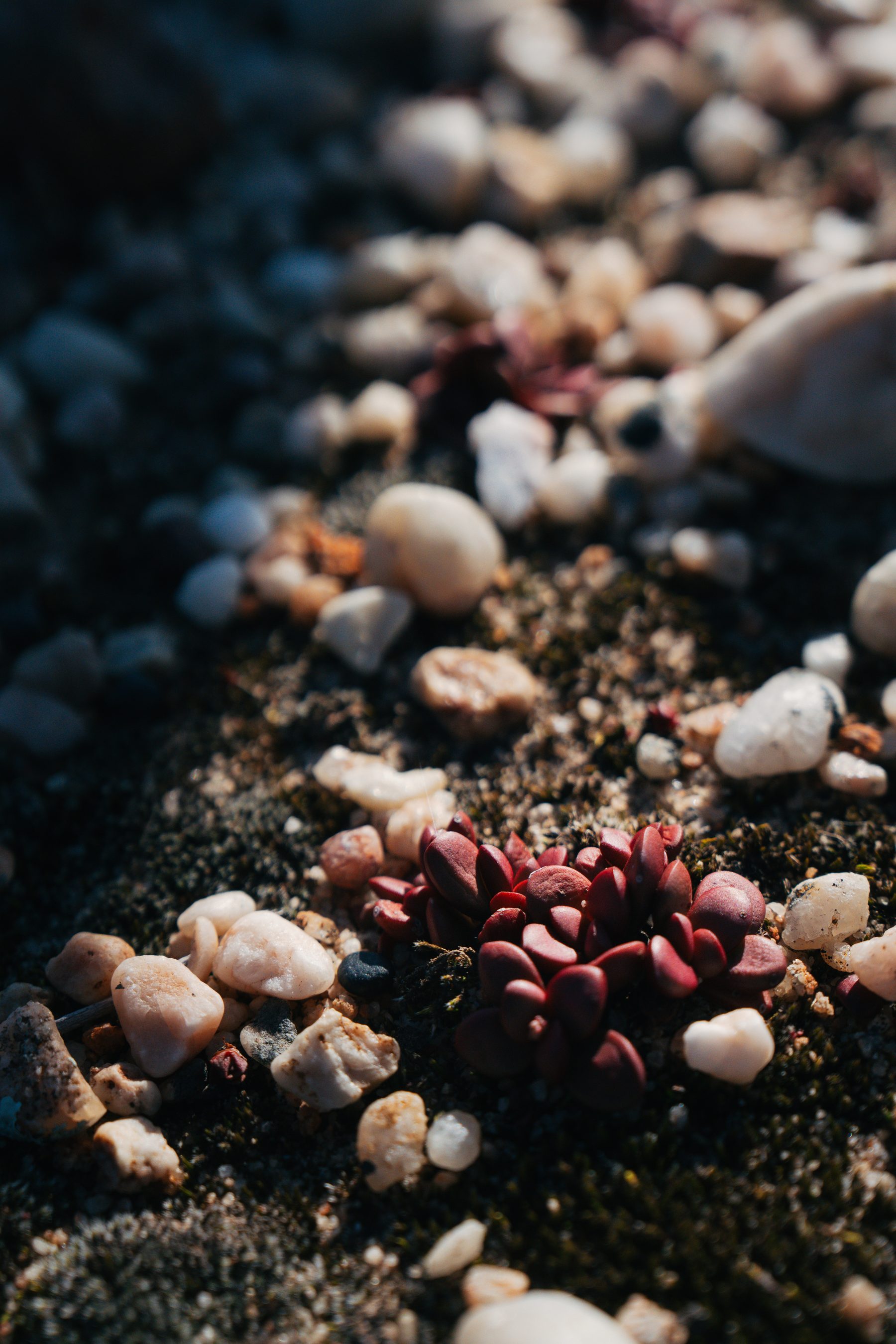
The quartz-gravel plain north of Vanrhynsdorp, a Succulent Karoo landscape with a high share of plants found nowhere else. It frames the view from the Bokkeveld escarpment and is not rooibos country.
River
The river that drains the Cederberg through Citrusdal and Clanwilliam to the coast. The Council describes the mountains as its main catchment.
Reserve or garden
SANBI's national botanical garden outside Nieuwoudtville, on renosterveld and dolerite with recorded spring and autumn flower seasons. A place to see the plateau's plant diversity rather than rooibos itself.
Reserve or garden
The protected mountain core named by the Council for its rock formations and rock art. Visitor arrangements belong to the managing authority and are not described here.
Town
The port city about two hundred kilometres south of the Cederberg by the Council's description. Bulk rooibos leaves the country through it and most visitors arrive through it.
Town
The Namaqualand town far to the north, shown for orientation. Beyond the rooibos area.
Town
The Hantam Karoo town east of the plateau, shown for orientation; a different, drier landscape.
The landscapes
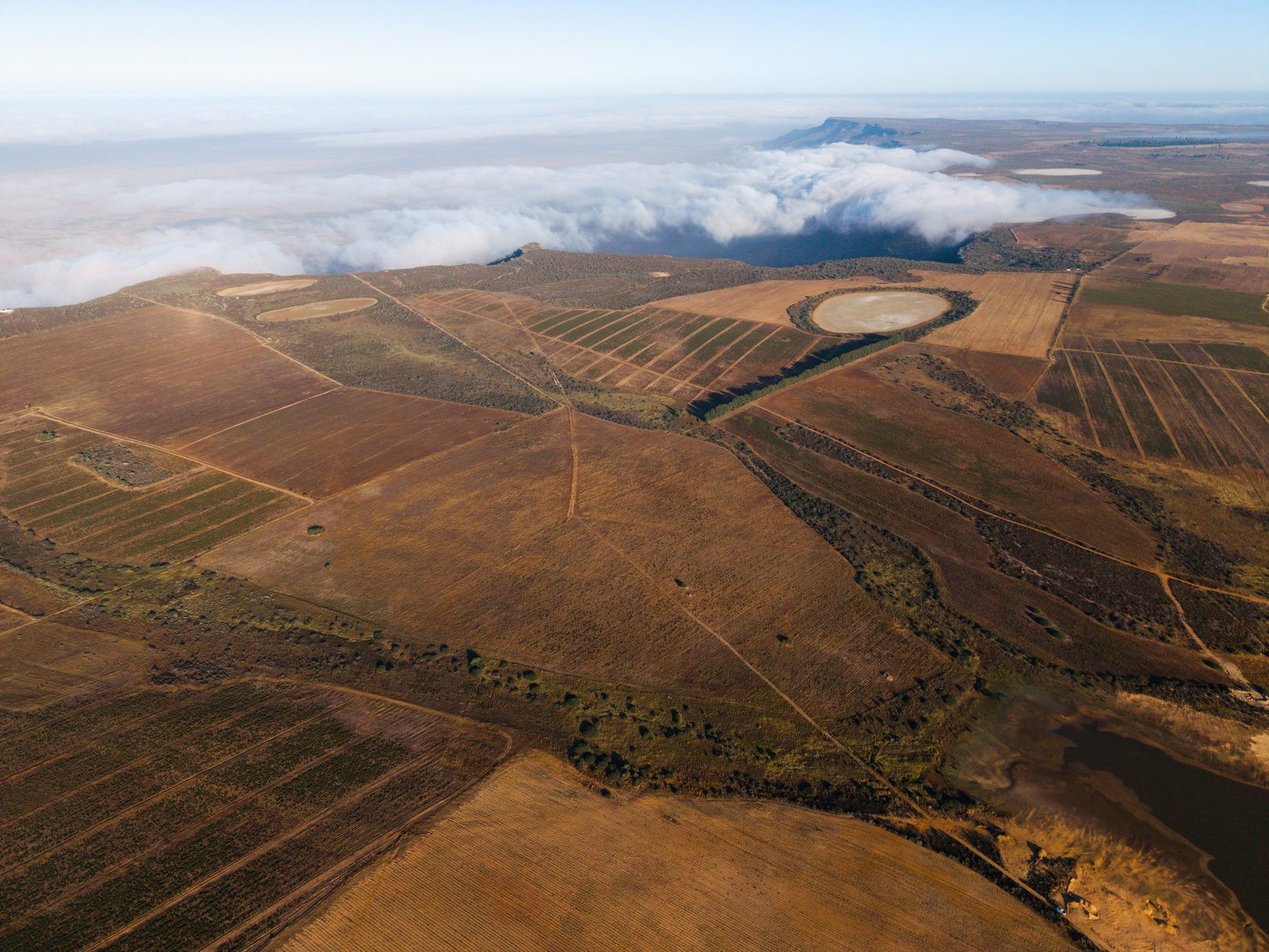
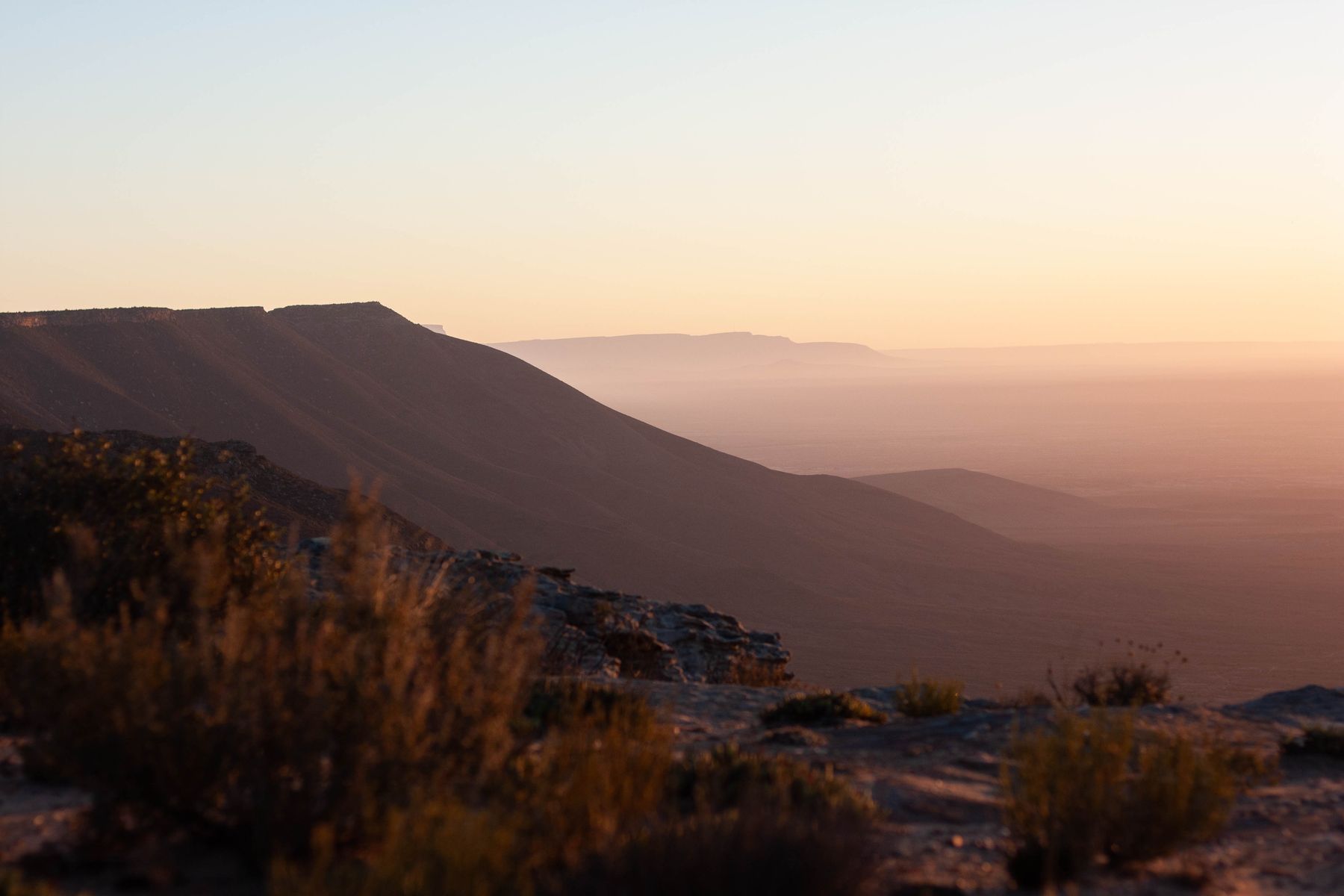
From the coast inland, the country rises through the sandy plain of the Sandveld to the sandstone of the Cederberg, with the Olifants River running between mountain ranges past Citrusdal and Clanwilliam. The Cederberg is mountain fynbos: winter rain, hot dry summers, coarse sandy soils, and the rock art, rock formations and wilderness area the Council describes. North of the mountains the land climbs again at Van Rhyn's Pass onto the Bokkeveld plateau around Nieuwoudtville, where sandstone meets dolerite and shale and the spring flower season draws visitors. Below the plateau's western escarpment lies the quartz plain of the Knersvlakte, a Succulent Karoo landscape that frames the view but is not rooibos country.
Individual farms differ in altitude, soil and rainfall, and a supplier should be able to say where its leaf was grown at district level, not just province level. The industry sheet that records the two provinces is dated 2022; any figure quoted from it is a 2022 figure.
The protected name
The 2022 information sheet notes the geographical protection attached to the name. In May 2021 the European Union registered Rooibos / Red Bush as a protected designation of origin; the single document describes pure dried leaves and stems of Aspalathus linearis, oxidised or green, from a specified area, with moisture below ten per cent for oxidised and below five per cent for green product. Those are the designation's product criteria and do not replace any export or buyer specification. A separate South African geographical-indication application was advertised for objection in May 2026; an advertised application is not a completed registration. The EU register's own index entry was seen only as a listing for this library.
What the protection requires of your label in your market is a legal question for that market. The practical version for a buyer is simpler: make sure the supplier can document the origin it is claiming, keep that documentation with your records, and do not print an origin on a pack that the paperwork does not support.
Why origin leads an enquiry
- Traceability. If a lot is ever questioned, you will want to know where it was grown and processed. A supplier who answers immediately is telling you something about its own records.
- Consistency. If you reorder and the next lot comes from somewhere else, you want to be told, not to find out in the cup.
- Labelling. If you sell under your own brand, what you may print about origin depends on rules in your market and on paperwork from the supplier.
- In which province, and which district, was this lot grown?
- Was it processed where it was grown, or moved elsewhere for processing?
- Do you grow it, buy crop from growers, or buy processed leaf from a processor?
- If the next lot comes from a different place, how will I be told?
- Which origin or geographical-name paperwork can you provide, and what does it state?
Visiting rooibos country
The Cederberg and the Bokkeveld are visited for the mountains, the flowers and the quiet as much as for the tea. The companion publication, Nieuwoudtville, a destination atlas, covers the plateau in depth: the waterfall, the quiver trees, the glacial pavement, the botanical garden, the seasons and the stone church, with photographs from the same farm. Farm and factory visits in the Clanwilliam district are arranged by individual businesses; this library lists none and promises no access.
Sources and notes for this page
The map's base geometry is Natural Earth public-domain data, generalised. Place points are editorial, placed by town or landmark from public references, and are not survey pins. No field, farm or legal boundary is drawn. The Council's list of producing towns and its Cederberg description, the government's statement of the natural range and the EU regulation's single document are the sources for the text.
- SA Rooibos Council, Information sheet, 2022, retrieved 2026-10-21.
- SA Rooibos Council, Frequently asked questions, retrieved 2026-10-21.
- South African Government, Growing our heritage, 2026, retrieved 2026-10-20.
- Kew, Plants of the World Online: Aspalathus linearis, retrieved 2026-10-20.
- EU Implementing Regulation 2021/865, Rooibos / Red Bush PDO, retrieved 2026-10-20.
- EU geographical indications register, Rooibos / Red Bush, index listing seen 2026-10-21; the entry itself was not retrieved.
- Department of Agriculture, GI applications, 2026, retrieved 2026-10-20.
- SA Rooibos Council, Legal standards and compliance, retrieved 2026-10-20.
- Natural Earth, 1:10m vectors, retrieved 2026-10-21.
- Wikipedia, Nieuwoudtville, retrieved 2026-10-21.
- SANBI, Hantam National Botanical Garden, visitor information, retrieved 2026-10-21.
- SANBI, Heiveld case study, 2009, retrieved 2026-10-20.
How sources are chosen and read is explained on the Sources and methodology page.